

|
DISS 3.2.GreDaSS: Seismogenic Source GRIS015 - Righeo Fault | |
| Source Info Summary | Commentary | Pictures | References |
|
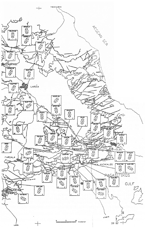
Map of Eastern Thessaly showing the sites of measured faults and joints, as well as the neotectonic stress pattern. For each site are represented the direction of minimum (ó3) and maximum (ó1 ) principal stress axes, only if they are horizontar or subhorizontat. S: Substratum; M: OligoMiocene; P: Pliocene; Pt: Pleistocene; N: Neogene undivided; J: Joints; P: Pebbles; F: Faults.
[from Pavlides and Caputo (1991)].
|
 |